


Photo: Geobia, CC BY-SA 3.0 · Wikimedia Commons
Historic villa / palace
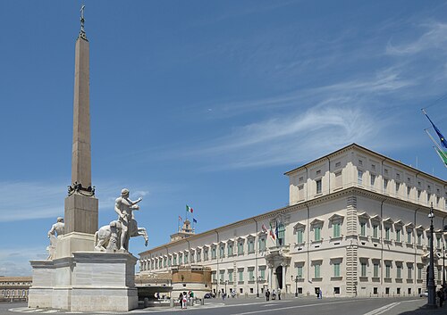
Palazzo San Felice
- Within the UNESCO World Heritage Site “Historic Centre of Rome, the Properties of the Holy See in that City Enjoying Extraterritorial Rights and San Paolo Fuori le Mura”
At a glance
- Coordinates
- 41°53′59″ N, 12°29′06″ E
About
No English description yet
Opening hours and directions are on this page. The full story is on Italian Wikipedia.
Read it in ItalianPhotos
Getting there
Roma TerminiTrain, nearest
1.5 km as the crow flies
Palazzo San Felice
Aeroporto di Roma-Ciampino14.3 km
Distances are as the crow flies, not walking or driving.
Loading map…
Nearby
See on the mapMore historic villas and palaces in Lazio

- Free 1st Sunday


Frequently asked questions
Where is Palazzo San Felice?
Palazzo San Felice is in Rome, in the province of Roma (Lazio), Italy. GPS coordinates: 41.89964, 12.48500.
What else is there to see near Palazzo San Felice?
Nearby you’ll find: Tomb of the Sempronii (0 m away), Palazzo della Panetteria (100 m away), Kircher Collection (100 m away).
Sources and licences
Data. Wikidata (CC0); opening hours and contacts OpenStreetMap (ODbL).
Photos. Wikimedia Commons, author and licence on every image.
Credits for the 6 photos
- 781RomaViaDataria — Geobia, CC BY-SA 3.0
- Rom, die Straße Via della Dataria, Bild 1 — Dguendel, CC BY 3.0
- Salita di Montecavallo (3607787607) — Bruno from Roma, Italia, CC BY-SA 2.0
- Trevi - via della Dataria 1100856 — Lalupa, CC BY-SA 3.0
- Via della Dataria-Salita di Montecavallo - Rome, Italy - Novembr 6, 2010 — Giorgio Galeotti, CC BY 4.0
- Via Della Dataria, Roma, Italia - 6 Novembre, 2010 - panoramio — Giorgio Galeotti, CC BY 3.0
Updated 28 October 2026. All sources and licences