

- UNESCO
- Free 1st Sunday
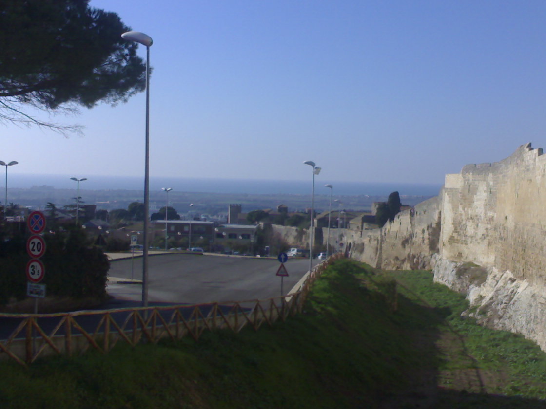
Photo: Marcx84 at Italian Wikipedia, CC BY-SA 3.0 · Wikimedia Commons
Archaeological site
Port of the Etruscan city of Tarquinii, situated 8 km west of the city center
Gravisca (Cravsca in Etruscan and Graviscae Latin) was the port of the Etruscan city of Tarquinii, situated 8 km west of the city center.
The Etruscan settlement, occupied ca. sixth to third centuries BC, had four principal occupational phases from ca. 600 to 250 B.C. It was superseded by the establishment of a colonia of Roman citizenship at the site in 181 BC. The port functioned as an emporion and there is ample evidence for merchants and perhaps Greek artisans based at the site.
There was a Greek quarter at the city. The cults of numerous Greek gods, including Aphrodite, Hera, Demeter, and Apollo, are attested.
The port is mentioned by name in book 10, line 23 of the Aeneid.
Text from Wikipedia, the free encyclopedia, under CC BY-SA 4.0. Full article: «Gravisca».
Distances are as the crow flies, not walking or driving.


Gravisca is in Tarquinia, in the province of Viterbo (Lazio), Italy. GPS coordinates: 42.21278, 11.71028.
Nearby you’ll find: Martanum (2.7 km away), Villa Bruschi Falgari necropolis (5.1 km away), Tarquinia National Museum (5.9 km away).
Text. Wikipedia, the free encyclopedia (CC BY-SA 4.0).
Data. Wikidata (CC0); opening hours and contacts OpenStreetMap (ODbL).
Photos. Wikimedia Commons, author and licence on every image.
Updated 28 October 2026. All sources and licences