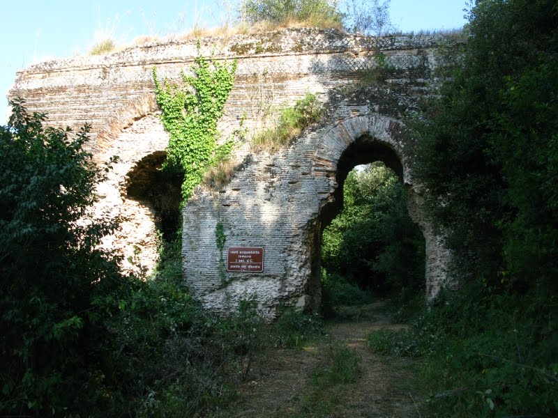
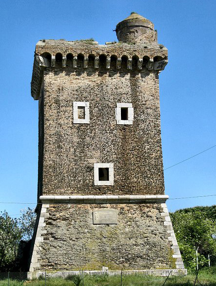
At a glance
- Protection
- Italian national heritage
- Coordinates
- 41°22′37″ N, 13°12′34″ E
- Address
- Via Campo Soriano
Getting there
1.4 km as the crow flies
Ponte del DiavoloVia Campo Soriano
Distances are as the crow flies, not walking or driving.
Do you know this place?
We are missing the opening hours and a description. The data comes from open projects: if you add it there, it appears here at the next update.
More archaeological sites in Lazio
Archaeological site, 82 AD Rome (RM)
Opening hours
Archaeological site, 216 AD Rome (RM)
Opening hours
Archaeological site, 7th century BC Fiumicino (RM)
Opening hours
Archaeological site, 100s Rome (RM)
Opening hours
Archaeological site, 80s Rome (RM)
Opening hours
Archaeological site Ciampino (RM)
Opening hours
See all archaeological sites in Lazio
Things to see in Sonnino: 11 historic places
Frequently asked questions
Where is Ponte del Diavolo?
Ponte del Diavolo is in Sonnino, in the province of Latina (Lazio), Italy. Address: Via Campo Soriano. GPS coordinates: 41.37690, 13.20940.
What else is there to see near Ponte del Diavolo?
Nearby you’ll find: Museum of the Borderlands (4.9 km away), Grotta La Sassa (5.7 km away), Fossanova Abbey (6.9 km away).
Sources and licences
Data. Wikidata (CC0); opening hours and contacts OpenStreetMap (ODbL).
Photos. Wikimedia Commons, author and licence on every image.
Credits for the 9 photos
- Ponte del Diavolo Sonnino — Eldiabl09, CC BY-SA 4.0
- 18 novembre 1935, Sonnino — Noce09, CC BY-SA 4.0
- Biscotto al latte — Mac9, CC BY-SA 4.0
- Capolinea bus sonnino — Mac9, CC BY-SA 4.0
- Castello e Torre - Sonnino — Noce09, CC BY-SA 4.0
- Centro sonnino 2 — Mac9, CC BY-SA 4.0
- Cese di Monte Romano — Noce09, CC BY-SA 4.0
- Ciambella scottolate — Mac9, CC BY-SA 4.0
- Come il Real^^^ - panoramio — Itto Ogami, CC BY 3.0
Updated 28 October 2026. All sources and licences
Spotted a mistake? Fix it on OpenStreetMap