

- UNESCO
Abbey / Monastery, Agra (VA)
46°01′53″ N, 8°46′32″ E
No photo on Wikimedia Commons yet
Abbey / Monastery
Building in Agra, Italy
Distances are as the crow flies, not walking or driving.
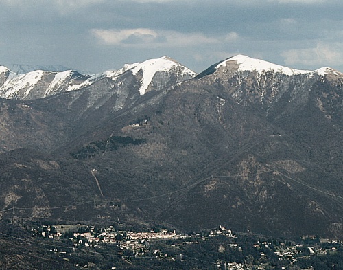 Things to see in Agra391 inhabitants, 650 m above sea level. 1 historic place in the town.PhotoIdéfix, CC BY-SA 4.01 place
We are missing the opening hours, a description and photos. The data comes from open projects: if you add it there, it appears here at the next update.


Monastero delle Romite Ambrosiane is in Agra, in the province of Varese (Lombardy), Italy. GPS coordinates: 46.03152, 8.77552.
Nearby you’ll find: Torre Imperiale (2.5 km away), Civico Museo Parisi - Valle (3.4 km away), Palazzo Verbania (4.3 km away).
Data. Wikidata (CC0); opening hours and contacts OpenStreetMap (ODbL).
Updated 28 October 2026. All sources and licences