

- Most beautiful villages
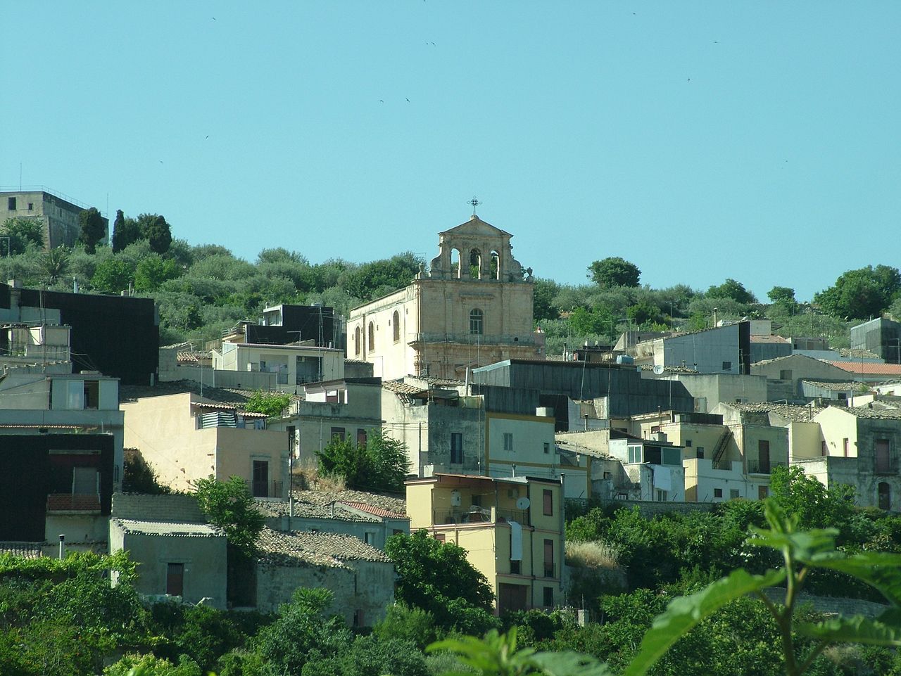
Photo: Clemensfranz, CC BY 2.5 · Wikimedia Commons
Historic village
Italian comune
Ferla (Sicilian: A Ferra) is a town and comune in the Province of Syracuse, Sicily (southern Italy). It is one of I Borghi più belli d'Italia ("The most beautiful villages of Italy").
The Necropolis of Pantalica, part of the UNESCO World Heritage Site of "Syracuse and the Rocky Necropolis of Pantalica" is situated between Ferla and Sortino.
Text from Wikipedia, the free encyclopedia, under CC BY-SA 4.0. Full article: «Ferla».
Distances are as the crow flies, not walking or driving.


Ferla is in Ferla, in the province of Siracusa (Sicily), Italy. GPS coordinates: 37.11667, 14.95000.
Nearby you’ll find: Necropolis of Pantalica (3.5 km away), Necropoli paleocristiana di Santolio (6.1 km away), Anaktoron (7 km away).
Text. Wikipedia, the free encyclopedia (CC BY-SA 4.0).
Data. Wikidata (CC0); opening hours and contacts OpenStreetMap (ODbL).
Photos. Wikimedia Commons, author and licence on every image.
Updated 28 October 2026. All sources and licences