




- Most beautiful villages
Photo: Hagai Agmon-Snir حچاي اچمون-سنير חגי אגמון-שניר, CC BY-SA 4.0 · Wikimedia Commons
Historic village
Italian comune
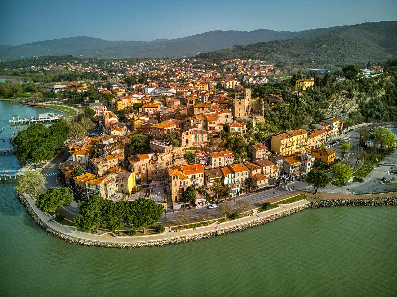
Passignano sul Trasimeno is a comune (municipality) in the Province of Perugia in the Italian region of Umbria, located about 20 km northwest of Perugia. It is one of I Borghi più belli d'Italia ("The most beautiful villages of Italy").
The earliest inhabitants of the area were the Umbri, later displaced by the Etruscans beyond the Tiber. In the Roman period the settlement functioned as a military outpost, probably centered on a watchtower controlling the northern pass and forming a link between northern and central Italy.
In 917 Passignano was granted as a fief by Berengar I to Marquis Uguccione II Bourbon del Monte. In 1073 John Gualbert, founder of the Vallombrosan order, died there. During the 12th century it came under the authority of Perugia and suffered frequent devastation in conflicts involving Arezzo and Florence. The settlement was sacked and burned by Arezzo in 1334 and later restored in 1396.
Subjugation by Braccio Fortebraccio occurred in 1416. Between 1479 and 1488 it was occupied by Florence before returning to Perugia. Until 1520 it remained under the rule of the Baglioni family, followed by control of the Oddi and Della Corgna families from 1520 to 1643, when it passed to the Grand Duchy of Tuscany.
In 1600 the waters of Lake Trasimeno caused sizeable destruction.
During the French period it served as the seat of a canton. In 1817 it became the seat of a governor within the Delegation of Perugia, with jurisdiction over Bastia Corgna, Fratta Corgna, Isola Maggiore and Monteruffiano, and with Castel Rigone as a dependency. A reorganization in 1827 reduced it to a lower-level jurisdiction under Magione, including Bastia Corgna, San Damiano, Monteruffiano, San Donato and San Vito, again with Castel Rigone as a dependency.
In the mid-19th century Passignano had a population of 1,904 inhabitants, of whom 645 lived in the town and 1,258 in the countryside. It was first designated as a municipality in 1857. Annexation to the Kingdom of Italy followed in 1860.
In 1904 the first navigation company on Lake Trasimeno was established, providing regular connections with lakeside towns and the islands. Between 1916 and 1922 a seaplane pilot training school operated there; some of its trainees later took part in the 1931 transatlantic flight.
The municipality adopted the name Passignano sul Trasimeno in 1918.
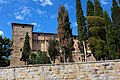
The main parish church within the town is San Bernardino. Other churches include Santa Maria dei Servi, built in 1482 and equipped with an organ, and the rural church of Madonna dell'Oliveto, located about 1 mile (1.6 km) away. The Capuchin convent, situated in an elevated position, was established in 1564.
In the church of San Bernardino there is a finely worked metal processional cross, formerly adorned with enamels. An inscription records that it was commissioned in 1463 by Lodovico di Giovanni, parish priest of San Cristoforo.
Near the town stands the church of the Madonna dell'Olivo, built in the 16th century. Its interior contains sculptures by Mariotto Radi, a native of Cortona, and by Ascanio da Cortona, as well as paintings including a fresco of the Virgin and Child enthroned attributed to Bonfigli, and works by Ciburri (depicting Saint Charles Borromeo), Virgilio Nucci (the Virgin enthroned with Child, Saint Nicholas and Saint Francis), and Salvini (the Annunciation).
In the surrounding area is also the church of San Cristoforo, which preserves frescoes by followers of the school of Giotto.
The sanctuary of Madonna dei Miracoli is located in Castel Rigone, a frazione of Passignano.
The Rocca of Passignano stands within the town, slightly above the area that later developed along the lake shore. It now consists of the ruins of the original structure. What remains includes square walls, a partly destroyed large tower, and the northern part of the medieval castle, with a triangular tower. A network of narrow lanes climbs within the historic center and reflects the former internal routes of the castle. …
Text from Wikipedia, the free encyclopedia, under CC BY-SA 4.0. Full article: «Passignano sul Trasimeno».
Distances are as the crow flies, not walking or driving.


Passignano sul Trasimeno is in Passignano sul Trasimeno, in the province of Perugia (Umbria), Italy. GPS coordinates: 43.18484, 12.13663.
Nearby you’ll find: Guglielmi Castle (3.8 km away), Casa del Capitano del Popolo (3.9 km away), Museo del merletto (3.9 km away).
Text. Wikipedia, the free encyclopedia (CC BY-SA 4.0).
Data. Wikidata (CC0); opening hours and contacts OpenStreetMap (ODbL).
Photos. Wikimedia Commons, author and licence on every image.
Updated 28 October 2026. All sources and licences