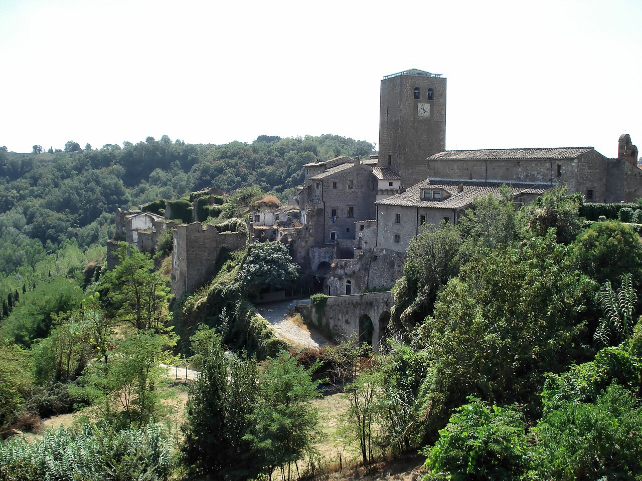


- Most beautiful villages
Photo: The original uploader was Cosmin latan at Italian Wikipedia., CC BY-SA 3.0 · Wikimedia Commons
Bassano in Teverina is a comune (municipality) in the Province of Viterbo in the Italian region of Latium. It is inhabited by 1,332 people and is located about 90 kilometres (56 mi) north of Rome and about 20 kilometres (12 mi) northeast of Viterbo. It is one of I Borghi più belli d'Italia ("The most beautiful villages of Italy").
The origin of the town is extremely uncertain. The ending of the name, derived from the Latin adjectival suffix -anus, dates back to Roman times and, together with the root of the name, seems to remember the family name (Bassus) of a character who owned large estates in the area: Bassus> Bassanus> Bassano.
The town center of Bassano in Teverina arises on a tuff spur set in a slightly rearward position compared to the Tiber Valley, of which it overlooks one part. Its location, hidden by the surrounding hillocks, does not allow the visibility of neighboring locations such as Mugnano, Attigliano, Chia and Bomarzo. However, a system of sighting and communication must have existed through the hillocks Sasso Quadro (324 m above sea level) and Poggio Zucco (318 m above sea level), directly connected to Bassano through old paths as well as locations of ancient settlements, as remains of buildings prove.
Downstream from the city center, not far away from the Tiber, lies Lake Vadimo, locally known as the "Pond", described by Pliny the Younger as "a lying wheel with a regular circumference [...] paler, greener and more intense than the sea." Today the lake is partially dry and is fed by sulphurous springs which, along with marsh vegetation and mineral sediments, create masses of a certain size that must have suggested the idea of the "floating islands" mentioned by some Latin authors. In Roman times the lake, called Lacus Vladimonis, besides being larger was also considered sacred: near its shores, the Etruscans performed rituals and periodic celebrations, while in its waters the Romans immersed their weapons to make them invincible. …
Text from Wikipedia, the free encyclopedia, under CC BY-SA 4.0. Full article: «Bassano in Teverina».
Distances are as the crow flies, not walking or driving.


Bassano in Teverina is in Bassano in Teverina, in the province of Viterbo (Lazio), Italy. GPS coordinates: 42.46667, 12.31250.
Nearby you’ll find: Castello di Giove (4.8 km away), Town hall of Bomarzo (5.7 km away), Gardens of Bomarzo (6 km away).
Text. Wikipedia, the free encyclopedia (CC BY-SA 4.0).
Data. Wikidata (CC0); opening hours and contacts OpenStreetMap (ODbL).
Photos. Wikimedia Commons, author and licence on every image.
Updated 28 October 2026. All sources and licences