

- Most beautiful villages
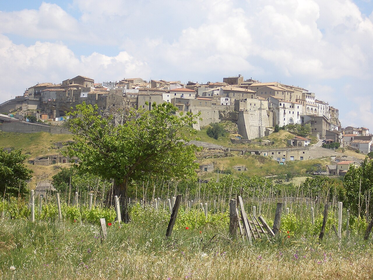
Photo: Aquilachrysaetos at English Wikipedia, CC BY-SA 3.0 · Wikimedia Commons
Acerenza is a town and comune (municipality) in the province of Potenza, in the Southern Italian region of Basilicata. It is one of I Borghi più belli d'Italia ("The most beautiful villages of Italy").
With its strategic position 800 metres (2,600 ft) above sea-level, Acerenza has been sacked by a series of invaders.
The town, then known as Aceruntia, Acheruntia or Acherontia, was conquered by the Romans in 318 BC. Later, it was taken by the Ostrogoths (it was mentioned as an important fortress during the Gothic Wars) and then the Lombards, who fortified the town. In 788 Charlemagne ordered that its walls be destroyed. In 1041, after a period in which it was fought over by the Principality of Salerno and the Byzantine Empire, it was conquered again by the Norman Robert Guiscard.
The town has been the see of a bishop since at least 499, when a Justus is known, and an archbishop since 1068. According to legend, the town's first bishop was appointed by St. Peter.
From the 16th century, Acerenza was held under the feudal lordship of the Marquess of Galatone, that family being granted the title Duke of Acerenza on 12 April 1593 by Philip II of Spain. Through marriage the duchy of Acerenza was inherited by the family of the Prince Belmonte, in whose line the title has descended to the present day.
Acerenza Cathedral, begun in 1080 by archbishop Arnando. In Romanesque-Gothic style, it houses a famed marble bust of Julian the Apostate. It has a nave and two aisles with 16th century canvasses, and a crypt from 1524.
The church of San Laviero Martire (12th century). It has a Baroque-style stone high altar with an altarpiece of the Martyrdom of Saint Laviero (18th century).
Text from Wikipedia, the free encyclopedia, under CC BY-SA 4.0. Full article: «Acerenza».
Distances are as the crow flies, not walking or driving.


Acerenza is in Acerenza, in the province of Potenza (Basilicata), Italy. GPS coordinates: 40.80000, 15.95000.
Nearby you’ll find: Villa di Masseria Ciccotti (4.6 km away), Castello di Oppido (5.3 km away), Castello di Cancellara (7.9 km away).
Text. Wikipedia, the free encyclopedia (CC BY-SA 4.0).
Data. Wikidata (CC0); opening hours and contacts OpenStreetMap (ODbL).
Photos. Wikimedia Commons, author and licence on every image.
Updated 28 October 2026. All sources and licences