


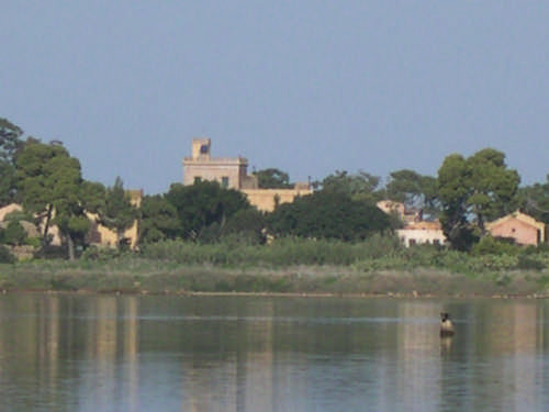
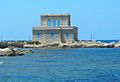

Photo: A. Farricelli, CC BY-SA 4.0 · Wikimedia Commons
At a glance
- Style
- Gothic Revival
- Architect
- Giuseppe Damiani Almeyda
- Owner
- Florio
- Coordinates
- 37°55′56″ N, 12°19′37″ E
About
Villa Florio is a historic Neogothic villa located in Favignana, Italy. Designed by Palermo-based engineer Giuseppe Damiani Almeyda, it was commissioned by Ignazio Florio Sr. to become his family's residence in Favignana. It currently serves as a public building.
Text from Wikipedia, the free encyclopedia, under CC BY-SA 4.0. Full article: «Villa Florio».
People
Events and people from Wikidata (CC0).
Photos
Getting there
Port100 m
Aeroporto di Trapani-Birgi14.5 km
Distances are as the crow flies, not walking or driving.
Loading map…
Nearby
See on the mapMore historic villas and palaces in Sicily


Frequently asked questions
Where is Villa Florio?
Villa Florio is in Favignana, in the province of Trapani (Sicily), Italy. GPS coordinates: 37.93221, 12.32685.
What else is there to see near Villa Florio?
Nearby you’ll find: Grotta d'Oriente (2.3 km away), Grotta del Genovese (7.9 km away), Mozia (14.3 km away).
Sources and licences
Text. Wikipedia, the free encyclopedia (CC BY-SA 4.0).
Data. Wikidata (CC0); opening hours and contacts OpenStreetMap (ODbL).
Photos. Wikimedia Commons, author and licence on every image.
Credits for the 5 photos
- Villa Florio, Favignana — A. Farricelli, CC BY-SA 4.0
- Favignana - Villa Florio - 2026-09-01 15-59-46 001 — CC1965, CC BY-SA 4.0
- Favignana, Villa Florio (24523) — HaguardDuNord, CC BY 4.0
- Villa Florio Favignana — Civa61, CC BY-SA 3.0
- Palazzo Florio, Favignana (Isole Egadi), Sicilia — Ambra75, CC BY-SA 4.0
Updated 28 October 2026. All sources and licences