

- Free 1st Sunday
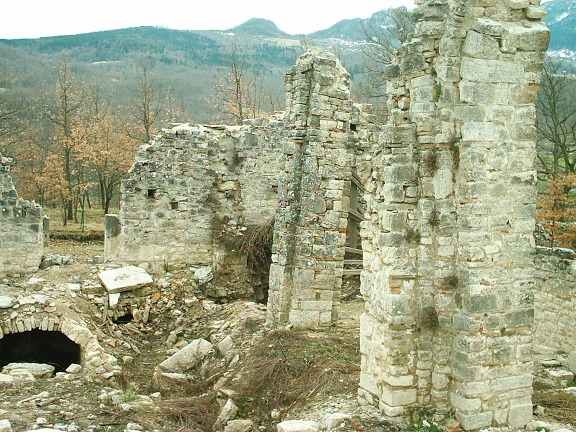
Photo: The original uploader was Rafaniello at Italian Wikipedia., CC BY-SA 3.0 · Wikimedia Commons
Archaeological site
Pre-Roman site in the Sangro river valley
Opening hours and directions are on this page. The full story is on Italian Wikipedia.
Read it in ItalianDistances are as the crow flies, not walking or driving.


Trebula is in Quadri, in the province of Chieti (Abruzzo), Italy. GPS coordinates: 41.91370, 14.28290.
Nearby you’ll find: Palazzo baronale (1.8 km away), Museo civico memorie della vita contadina (1.9 km away), Museo civico della pietra "Chiara Marinelli" (4.2 km away).
Data. Wikidata (CC0); opening hours and contacts OpenStreetMap (ODbL).
Photos. Wikimedia Commons, author and licence on every image.
Updated 28 October 2026. All sources and licences