


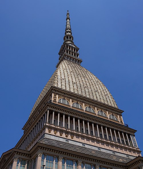
Photo: Incola, CC BY-SA 3.0 · Wikimedia Commons
At a glance
- Type
- Fortress / Tower
- Protection
- Italian national heritage
- Coordinates
- 44°54′03″ N, 8°12′15″ E
- Address
- Piazza Medici, 6, - Asti
History and description
The Torre Troyana ("Troyan Tower", after the family Troya that built it) is a tower in Asti, Italy, and one of the main symbols of the city.
It is a campanile, or freestanding bell tower, and in the 19th century it was used to signal hours during daylight.
History
The basement was built in late 12th century. The original client is unknown, but the construction remained incomplete. In the first half of the 13th century, the powerful family of bankers Troja (later Troya) bought the unfinished tower and resumed the building; the tower was then finished somewhere between 1260 and 1280. In the Middle Ages it was a common practice for powerful and rich families to build a tall tower to show off their wealth: during the history there have been about 120 towers in Asti, of which several still remain.
Following the decline of Troja family, in the second half of 14th century the tower was annexed to the nearby building, which was the seat of the government of the city, headed by the Dukes of Orléans. Later in 1422 Filippo Maria Visconti moved the seat of government to another building and the former one was assigned to the use of the town council. A clock was then placed in the tower and in 1470 the roof and the steeple were added. The seat of the city council was later moved again, but the tower kept its public function. In 1560, Emmanuel Philibert, Duke of Savoy finally donated the tower to the city council.
Bell
A bell was first placed in the tower in early 15th century, but the current one dates back to the 16th century and is the second most ancient bell in Piedmont and the most ancient that still marks the hours, the older one being preserved in a museum.
According to some old annals, the bell was created in 1531. It has a diameter and a height of 120 centimetres (47 in), weighs 1.4 tonnes (220 st) and its intonation is in the note of E.
An inscription in Latin is present, which gives information about the origin of the bell:
In the Middle Ages it was a common practice to use bells as a source of iron to forge cannons in wartime, when it was necessary to quicken their production. The inscription states that the iron of a cannon was used to forge the bell instead, probably after the war ended.
Text from Wikipedia, the free encyclopedia, under CC BY-SA 4.0. Full article: «Torre Troyana».
Photos
Getting there
AstiTrain, nearest
700 m as the crow flies
Torre TroyanaPiazza Medici, 6, - Asti
Distances are as the crow flies, not walking or driving.
Loading map…
Nearby
See on the mapMore fortresses and towers in Piedmont


Frequently asked questions
Where is Torre Troyana?
Torre Troyana is in Asti, in the province of Asti (Piedmont), Italy. Address: Piazza Medici, 6, - Asti. GPS coordinates: 44.90089, 8.20412.
What else is there to see near Torre Troyana?
Nearby you’ll find: Palazzo di Città (200 m away), Palazzo del Podestà (200 m away), Teatro Vittorio Alfieri (200 m away).
Sources and licences
Text. Wikipedia, the free encyclopedia (CC BY-SA 4.0).
Data. Wikidata (CC0); opening hours and contacts OpenStreetMap (ODbL).
Photos. Wikimedia Commons, author and licence on every image.
Credits for the 9 photos
- Torre Troyana Asti 2014 — Incola, CC BY-SA 3.0
- Asti - Torre Troyana 8331 — Phyrexian, CC BY-SA 4.0
- La torre Troyana vista da via Morelli — Francesco Spaccamonte 2727, CC BY-SA 4.0
- La Torre Troyana — Alberto.domanda, CC BY-SA 3.0
- Torre Troyana - Asti (Prospettiva) — TheNino, CC BY-SA 3.0
- Torre Troyana - Asti — TheNino, CC BY-SA 3.0
- Torre Troyana (Asti) 01 — Mongolo1984, CC BY-SA 4.0
- Torre Troyana 1 — Neq00, CC BY-SA 3.0
- Avvicinandosi alla Torre — Ste.caneva, CC BY-SA 3.0
Updated 28 October 2026. All sources and licences