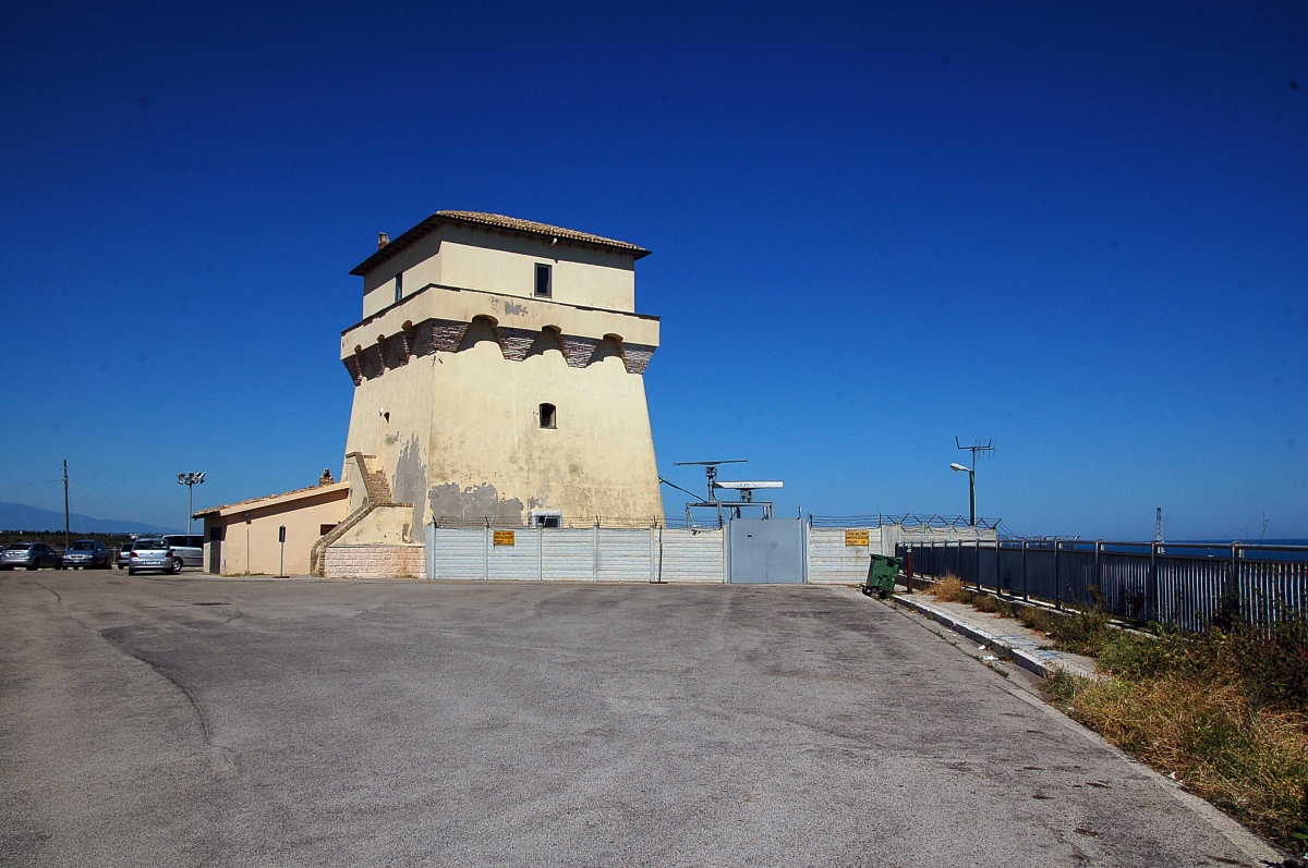


Photo: © Ra Boe / Wikipedia Create the proper attribution for your usage by clicking on this button!, This file is licensed under the Creative Commons Attribution-Share Alike 3.0 Germany license.…, CC BY-SA 3.0 de · Wikimedia Commons
At a glance
- Type
- Fortress / Tower
- Period
- Renaissance, 1563
- Protection
- Italian national heritage
- Coordinates
- 42°10′24″ N, 14°42′53″ E
About
No English description yet
Opening hours and directions are on this page. The full story is on Italian Wikipedia.
Read it in ItalianTimeline
- 1563Built
Events and people from Wikidata (CC0).
Photos
Getting there
Porto di VastoTrain, nearest
1.7 km as the crow flies
Punta Penna Tower
Port100 m
Distances are as the crow flies, not walking or driving.
Loading map…
Nearby
See on the mapMore fortresses and towers in Abruzzo


Frequently asked questions
Where is Punta Penna Tower?
Punta Penna Tower is in Vasto, in the province of Chieti (Abruzzo), Italy. GPS coordinates: 42.17345, 14.71476.
How old is Punta Penna Tower?
Wikidata dates it to 1563.
What else is there to see near Punta Penna Tower?
Nearby you’ll find: Punta Penna Lighthouse (300 m away), Baths of Vasto (6.6 km away), Caldora Castle (6.9 km away).
Sources and licences
Data. Wikidata (CC0); opening hours and contacts OpenStreetMap (ODbL).
Photos. Wikimedia Commons, author and licence on every image.
Credits for the 3 photos
- Vasto 2010-by-RaBoe-30 — © Ra Boe / Wikipedia Create the proper attribution for your usage by clicking on this button!, This file is licensed under the Creative Commons Attribution-Share Alike 3.0 Germany license.…, CC BY-SA 3.0 de
- Vasto - Torre di Punta Penna, veduta dalla spiaggia di Punta Aderci, al tramonto — Maddy16869, CC BY-SA 4.0
- Vasto 2010-by-RaBoe-21 — © Ra Boe / Wikipedia Create the proper attribution for your usage by clicking on this button!, This file is licensed under the Creative Commons Attribution-Share Alike 3.0 Germany license.…, CC BY-SA 3.0 de
Updated 28 October 2026. All sources and licences