Saved
Suvereto
  • Most beautiful villages in Italy
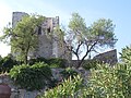
Original photo1 of 9 photos

Photo: sailko, CC BY-SA 3.0 · Wikimedia Commons

Historic village

Suvereto

Italian comune

Suvereto (LI), Tuscany

Directions

At a glance

Elevation
90 m above sea level
Area
92,470,000 m²
Coordinates
43°04′60″ N, 10°40′60″ E
Address
IAT Suvereto, Via Giacomo Matteotti, 42, Suvereto

History and description

Suvereto is a comune (municipality) in the Province of Livorno in the Italian region Tuscany, located about 90 km (56 miles) southwest of Florence and about 60 km (37 miles) southeast of Livorno. It is one of I Borghi più belli d'Italia ("The most beautiful villages of Italy").

Infrastructure

Static inverter plant of HVDC SACOI, the HVDC-power cable connecting the power grids of Corse and Sardinia with the grid of the Italian mainland.

Research centre for switchyards of ENEL, including an experimental 3-kilometre (2-mile) long powerline to Valdicciola, which is partly built as underground cable

Keep reading on Wikipedia

Text from Wikipedia, the free encyclopedia, under CC BY-SA 4.0. Full article: «Suvereto».

Photos

Getting there

Stazione Pozzo EarleTrain, nearest
5.6 km as the crow flies
SuveretoIAT Suvereto, Via Giacomo Matteotti, 42, Suvereto

Distances are as the crow flies, not walking or driving.

Loading map…

More historic villages in Tuscany

  • Most beautiful villages
Historic village

Anghiari

Anghiari (AR)

  • Most beautiful villages
Historic village

Barga

Barga (LU)

  • Most beautiful villages
Historic village

Buonconvento

Buonconvento (SI)

  • Most beautiful villages
Historic village

Pitigliano

Pitigliano (GR)

See all historic villages in Tuscany

Things to see in Suvereto: 6 historic places

Frequently asked questions

Where is Suvereto?

Suvereto is in Suvereto, in the province of Livorno (Tuscany), Italy. Address: IAT Suvereto, Via Giacomo Matteotti, 42, Suvereto. GPS coordinates: 43.08333, 10.68333.

What else is there to see near Suvereto?

Nearby you’ll find: Rocca aldobrandesca (500 m away), San Francesco cloister (600 m away), Campiglia Marittima (5.7 km away).
Sources and licences

Text. Wikipedia, the free encyclopedia (CC BY-SA 4.0).

Data. Wikidata (CC0); opening hours and contacts OpenStreetMap (ODbL).

Photos. Wikimedia Commons, author and licence on every image.

Credits for the 9 photos
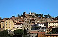
  1. Suvereto, palazzo comunale 09 — sailko, CC BY-SA 3.0
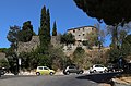
  2. 57028 Suvereto, Province of Livorno, Italy - panoramio — lillolibero.@virgili…, CC BY 3.0
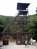
  3. Filosofo di suvereto - panoramio — lillolibero.@virgili…, CC BY 3.0
  4. ISS067-E-152541 - View of Italy - Venturina Terme - Campiglia Marittima - Fiume Cornia (river) - Suvereto - San Vincenzo (cropped) — Earth Science and Remote Sensing Unit, Lyndon B. Johnson Space Center, Public domain
  5. Monumento ai caduti suvereto — Original uploader was Prof.Quatermass at it.wikipedia, Public domain
  6. Suvereto, corte vicino al santissimo crocifisso — sailko, CC BY-SA 3.0
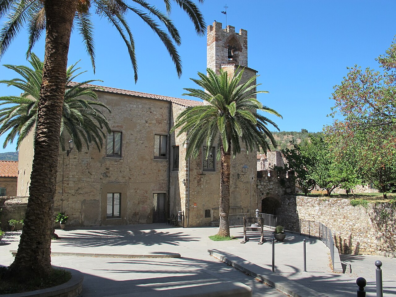
  7. Suvereto, piazza dietro il comune — sailko, CC BY-SA 3.0
  8. Suvereto, piazza vittorio veneto — sailko, CC BY-SA 3.0
  9. ISS067-E-152541 - View of Earth — Earth Science and Remote Sensing Unit, Lyndon B. Johnson Space Center, Public domain

Updated 28 October 2026. All sources and licences

Spotted a mistake? Fix it on OpenStreetMap