


- Most beautiful villages
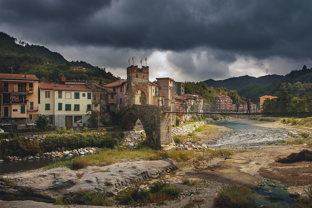
Photo: Abbrey82, CC BY-SA 4.0 · Wikimedia Commons
Historic village
Italian comune
Millesimo (Ligurian: Millëximo or Merexo, locally Merezu or Mresciu, Piedmontese: Mresù) is a comune (municipality) in the Province of Savona in the Italian region Liguria, located about 60 kilometres (37 mi) west of Genoa and about 25 kilometres (16 mi) northwest of Savona.
Millesimo borders the following municipalities: Cengio, Cosseria, Murialdo, Osiglia, Pallare, Plodio, and Roccavignale. It is one of I Borghi più belli d'Italia ("The most beautiful villages of Italy").
Text from Wikipedia, the free encyclopedia, under CC BY-SA 4.0. Full article: «Millesimo».
Distances are as the crow flies, not walking or driving.


Millesimo is in Millesimo, in the province of Savona (Liguria), Italy. Address: Comune di Millesimo, Via dei Partigiani 64. GPS coordinates: 44.36440, 8.20594.
Nearby you’ll find: Castle of Millesimo (300 m away), Monastero di Santo Stefano (800 m away), Castle of Cosseria (1.6 km away).
Text. Wikipedia, the free encyclopedia (CC BY-SA 4.0).
Data. Wikidata (CC0); opening hours and contacts OpenStreetMap (ODbL).
Photos. Wikimedia Commons, author and licence on every image.
Updated 28 October 2026. All sources and licences