


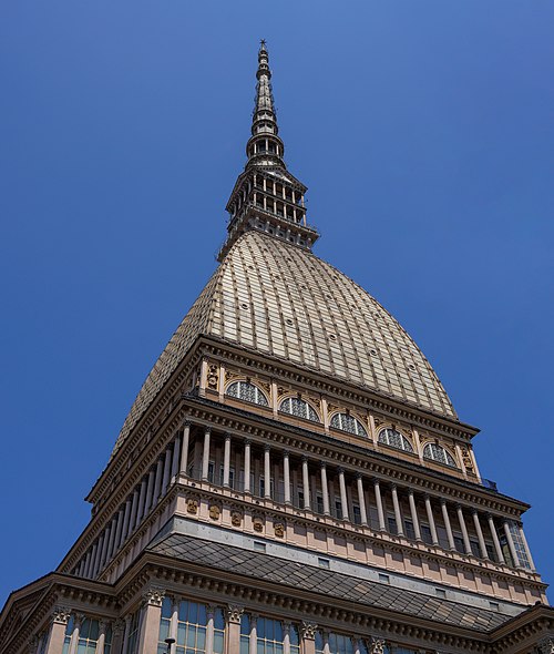
Photo: Szeder László, CC BY-SA 4.0 · Wikimedia Commons
At a glance
- Type
- Museum
- Area
- 1,200 m²
- Protection
- Italian national heritage
- Coordinates
- 44°53′41″ N, 8°40′11″ E
- Address
- Via Giovanni Delavo, 15122 Alessandria
About
No English description yet
Opening hours and directions are on this page. The full story is on Italian Wikipedia.
Read it in ItalianTimeline
- 2009Opened
Events and people from Wikidata (CC0).
Photos
Getting there
SpinettaTrain, nearest
1.7 km as the crow flies
Marengo MuseumVia Giovanni Delavo, 15122 Alessandria
Distances are as the crow flies, not walking or driving.
Loading map…
Nearby
See on the mapMore museums in Piedmont

- UNESCO


Frequently asked questions
Where is Marengo Museum?
Marengo Museum is in Alessandria, in the province of Alessandria (Piedmont), Italy. Address: Via Giovanni Delavo, 15122 Alessandria. GPS coordinates: 44.89481, 8.66972.
What are the opening hours of Marengo Museum?
According to OpenStreetMap the opening hours are: Saturday and Sunday: 15:00–19:00. Always check the official website before your visit.
Is Marengo Museum wheelchair accessible?
According to OpenStreetMap data, the site is wheelchair accessible.
What else is there to see near Marengo Museum?
Nearby you’ll find: Torre degli Stortiglioni (100 m away), Castle of Pavone d'Alessandria (4.4 km away), Museo Civico di Palazzo Cuttica (4.6 km away).
Sources and licences
Data. Wikidata (CC0); opening hours and contacts OpenStreetMap (ODbL).
Photos. Wikimedia Commons, author and licence on every image.
Credits for the 2 photos
- I-AL-Marengo5 — Szeder László, CC BY-SA 4.0
- La Fraschetta (Galleria delle carte geografiche, Città del Vaticano) — Brigante mandrogno, CC BY-SA 4.0
Updated 28 October 2026. All sources and licences