Saved
Laigueglia
  • Most beautiful villages in Italy
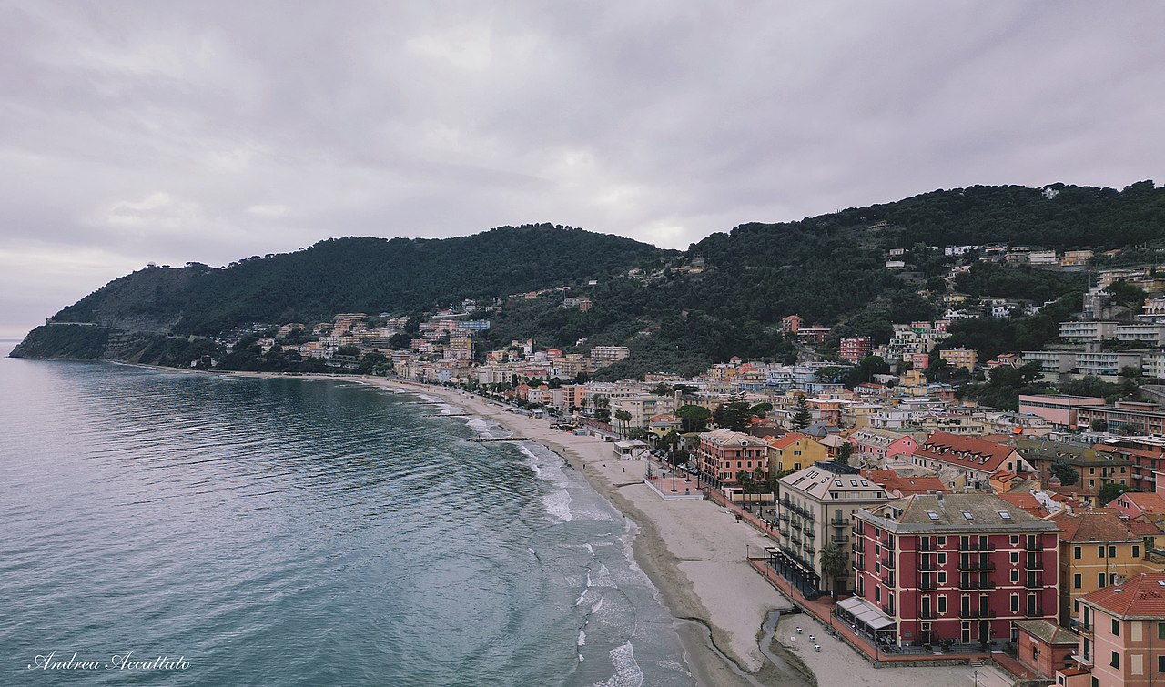
Original photo1 of 5 photos

Photo: Amstead23, CC BY-SA 4.0 · Wikimedia Commons

Historic village

Laigueglia

Italian comune

Laigueglia (SV), Liguria

Directions

At a glance

Elevation
6 m above sea level
Area
2,720,000 m²
Coordinates
43°58′28″ N, 8°09′30″ E

About

Laigueglia is a town and comune in the province of Savona, in Liguria, nearby the Capo Mele Lighthouse. It is one of I Borghi più belli d'Italia ("The most beautiful villages of Italy").

Keep reading on Wikipedia

Text from Wikipedia, the free encyclopedia, under CC BY-SA 4.0. Full article: «Laigueglia».

Photos

Getting there

LaiguegliaTrain, nearest
700 m as the crow flies
Laigueglia
Port3.6 km

Distances are as the crow flies, not walking or driving.

Loading map…

More historic villages in Liguria

  • Most beautiful villages
Historic village

Campo Ligure

Campo Ligure (GE)

  • Most beautiful villages
Historic village

Celle Ligure

Celle Ligure (SV)

  • Most beautiful villages
Historic village

Noli

Noli (SV)

  • Most beautiful villages
Historic village

Perinaldo

Perinaldo (IM)

See all historic villages in Liguria

Things to see in Laigueglia: 2 historic places

Frequently asked questions

Where is Laigueglia?

Laigueglia is in Laigueglia, in the province of Savona (Liguria), Italy. GPS coordinates: 43.97451, 8.15831.

What else is there to see near Laigueglia?

Nearby you’ll find: Andora Castle (1.4 km away), Capo Mele Lighthouse (2.4 km away), Villa della Pergola (4.3 km away).

Sources and licences

Text. Wikipedia, the free encyclopedia (CC BY-SA 4.0).

Data. Wikidata (CC0); opening hours and contacts OpenStreetMap (ODbL).

Photos. Wikimedia Commons, author and licence on every image.

Credits for the 5 photos
  1. Laigueglia view — Amstead23, CC BY-SA 4.0
  2. Laigueglia municipio — F Ceragioli, CC BY-SA 3.0
  3. SV-Laigueglia-1964-spiaggia — Unknown author Unknown author, Public domain
  4. Panorama e Capo Mele — Redkap1, CC BY-SA 4.0
  5. Panoràmma de Lengoéggia — N.Longo, CC BY-SA 4.0

Updated 28 October 2026. All sources and licences

Spotted a mistake? Fix it on OpenStreetMap