
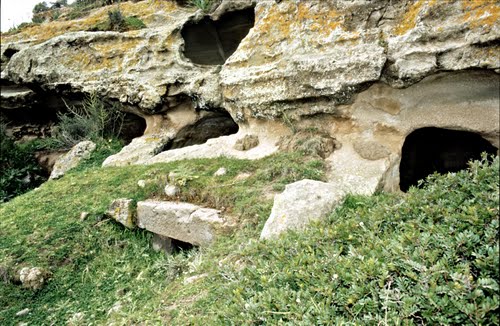




- UNESCO
Photo: Aschy, CC BY-SA 3.0 · Wikimedia Commons
Opening hours and directions are on this page. The full story is on Italian Wikipedia.
Read it in ItalianAddress
Localita' Pani Loriga, Santadi
Distances are as the crow flies, not walking or driving.


Pani Loriga is in Santadi, in the province of Sulcis Iglesiente (Sardinia), Italy. Address: Localita' Pani Loriga, Santadi. GPS coordinates: 39.08889, 8.69111.
Nearby you’ll find: Marchianna necropolis (4.3 km away), Necropolis of Montessu (5.3 km away), Tomba dei giganti di Barrancu Mannu (6.8 km away).
Data. Wikidata (CC0); opening hours and contacts OpenStreetMap (ODbL).
Photos. Wikimedia Commons, author and licence on every image.
Updated 28 October 2026. All sources and licences