



- Most beautiful villages
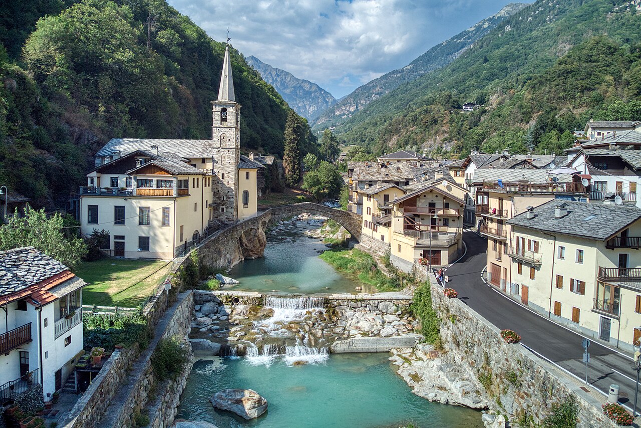
Photo: Hagai Agmon-Snir حچاي اچمون-سنير חגי אגמון-שניר, CC BY-SA 4.0 · Wikimedia Commons
Historic village
Italian municipality in the Aosta Valley
Fontainemore (AO), Aosta Valley
Fontainemore is a town and comune in the Aosta Valley region of north-western Italy. It is one of I Borghi più belli d'Italia ("The most beautiful villages of Italy").
The toponym "Fontainemore" may derive from an old fountain called in French as « Fontaine de Saint-Maur » or « Fontaine de la mort ».
Fontainemore was renamed "Fontanamora" in Italian in 1939 during Fascist rule in Italy. It was reverted to its original name in 1946.
Text from Wikipedia, the free encyclopedia, under CC BY-SA 4.0. Full article: «Fontainemore».
Distances are as the crow flies, not walking or driving.

Fontainemore is in Fontainemore (Aosta Valley), Italy. GPS coordinates: 45.65000, 7.86667.
Nearby you’ll find: Charles Castle (5.4 km away), Tour d'Hérères (5.5 km away), Vallaise Castle (Perloz) (6.1 km away).
Text. Wikipedia, the free encyclopedia (CC BY-SA 4.0).
Data. Wikidata (CC0); opening hours and contacts OpenStreetMap (ODbL).
Photos. Wikimedia Commons, author and licence on every image.
Updated 28 October 2026. All sources and licences