
Photo: Frenklin, Public domain · Wikimedia Commons
At a glance
- Type
- Lighthouse
- Period
- Modern era, 1867
- Coordinates
- 41°53′21″ N, 16°11′03″ E
History and description
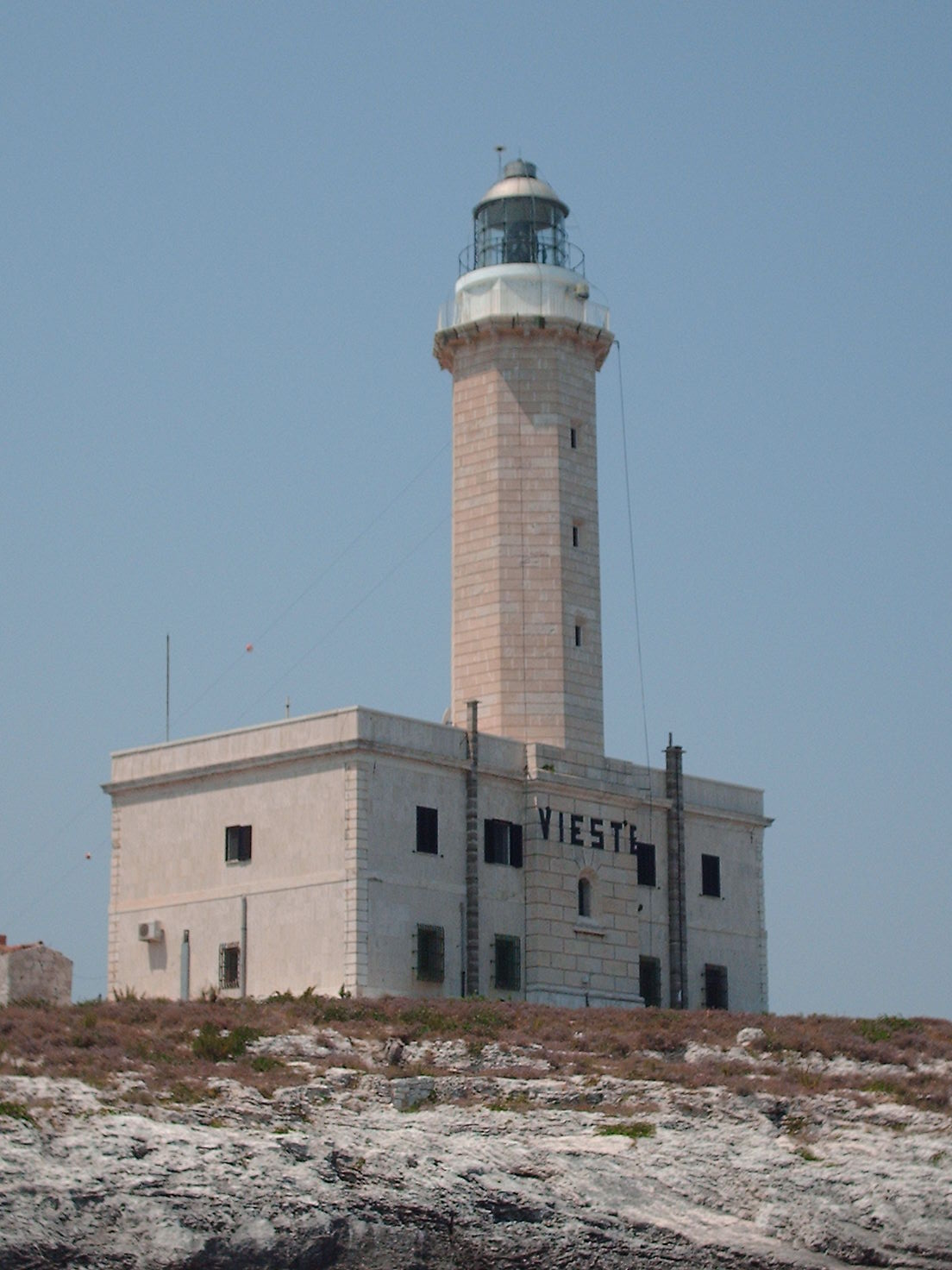
Vieste Lighthouse (Italian: Faro di Vieste), on Isola di Santa Eufemia (Island of Saint Euphemia), is an active lighthouse, located between the rocks of Santa Croce and San Francesco, just opposite the town of Vieste, Apulia, Italy. Its position is strategic for the shipping lanes in the middle and lower Adriatic Sea.
Description
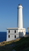
The lighthouse was built on plan by Francesco Saverio Gatta in 1867 in limestone; it has an octagonal prism form with balcony and lantern and it is placed atop a two-story building. The unpainted tower is 27 metres (89 ft) high; the lantern is positioned at a height of 40 metres (130 ft) above sea level. The lighthouse was automated in 1997 and is operated by the Lighthouses Service of Marina Militare, identified by the country code number 3816 E.F. The light emits three white flashes in a fifteen-second period visible up to 25 nautical miles (46 km; 29 mi). The lighthouse is completely controlled and operated by the Command Area Lighthouses Navy based in Venice. The Marina Militare has been responsible for managing all the lights along Italy's 8000-kilometre coastline since 1910, using both military and civilian technicians.
The lighthouse receives its electricity by an overhead power line from the Italian mainland. East of the lighthouse is a free-standing lattice tower insulated against ground, used for a DGPS transmitter working on 292.5 kHz.
Text from Wikipedia, the free encyclopedia, under CC BY-SA 4.0. Full article: «Vieste Lighthouse».
Timeline
- 1867Built
Events and people from Wikidata (CC0).
Photos
Getting there
Our data shows no stations, stops or car parks nearby. Check how to get there before you set out.
Loading map…
Nearby
See on the mapMore lighthouses in Puglia (Apulia)


Frequently asked questions
Where is Vieste Lighthouse?
Vieste Lighthouse is in Vieste, in the province of Foggia (Puglia (Apulia)), Italy. GPS coordinates: 41.88920, 16.18420.
How old is Vieste Lighthouse?
Wikidata dates it to 1867.
What else is there to see near Vieste Lighthouse?
Nearby you’ll find: Torre di Portonuovo (5.4 km away), Torre Gattarella (5.8 km away), Torre San Felice (6.9 km away).
Sources and licences
Text. Wikipedia, the free encyclopedia (CC BY-SA 4.0).
Data. Wikidata (CC0); opening hours and contacts OpenStreetMap (ODbL).
Photos. Wikimedia Commons, author and licence on every image.
Credits for the 9 photos
- Il Faro di Vieste — Frenklin, Public domain
- Gargano - Vieste lighthouse and wave (36887727084) — Jon Gudorf Photography, CC BY-SA 2.0
- Restaurant terrace with Vieste lighthouse in the background, Via Pola, Vieste, Italy (PPL1-Corrected) julesvernex2 — Jules Verne Times Two, CC BY-SA 4.0
- Vieste Lighthouse 01 — Bernard Gagnon, CC0
- Vieste-faro01 — Roby Ferrari, CC BY-SA 2.0
- Vieste-Lighthouse — Adam Zivner, CC BY-SA 3.0
- 2022 04 18 vieste majak — Milos Kusy, CC BY-SA 4.0
- Gargano National Park, Via Cristoforo Colombo, 67, 71019 Vieste FG, Italy - panoramio — giovanni zagaria, CC BY-SA 3.0
- Vieste-scoglio-di-sant-eufemia — Mboesch, CC BY-SA 4.0
Updated 28 October 2026. All sources and licences