


- UNESCO
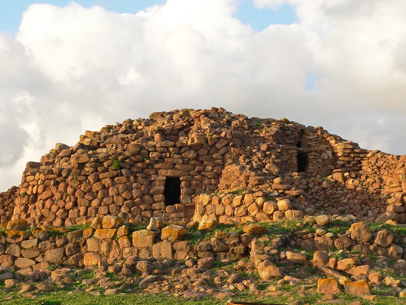
Photo: Wikibiro, CC BY-SA 3.0 · Wikimedia Commons
The nuraghe Seruci is an important archaeological site, located in the municipality of Gonnesa, in the Iglesiente region of Sardinia.
The nuraghe is of the complex type, it consists of a central tower surrounded by five or six other towers, some of which are in good condition. The towers have their summit collapsed but originally their tops were crowned with shelves in stone. The nuraghe is surrounded by a wall.
From the nuraghe, being located in a hill of strategic importance near the sea, is possible to observe the entire surrounding area.
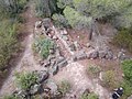
The nuraghe is surrounded by a village, one of the largest in Sardinia, with about a hundred huts grouped in six "residential areas" divided by narrow streets. The settlements covers 6 hectares, the huts are circular and in some of them is possible to see the use of architectural solutions that are rarely found in the other nuraghic villages; for example the use of partition walls inside of the huts and the addition of other environments of varying shape around the usual living environment.
At the center of the village is located a hut of vast size that probably was the meeting hut of the community.
In a hill near the village and the nuraghe is also present one giants' tomb, the typical burials of nuragic Sardinia.
Text from Wikipedia, the free encyclopedia, under CC BY-SA 4.0. Full article: «Nuraghe Seruci».
Distances are as the crow flies, not walking or driving.


Nuraghe Seruci is in Gonnesa, in the province of Sulcis Iglesiente (Sardinia), Italy. Address: 09010 Gonnesa SU. GPS coordinates: 39.24917, 8.42444.
Nearby you’ll find: Nuraghe Gennerei (1.4 km away), Nuraghe Sa Turrita (1.4 km away), Nuraghe Is Bangius (2.5 km away).
Text. Wikipedia, the free encyclopedia (CC BY-SA 4.0).
Data. Wikidata (CC0); opening hours and contacts OpenStreetMap (ODbL).
Photos. Wikimedia Commons, author and licence on every image.
Updated 28 October 2026. All sources and licences