


Castle, Kastelbell-Tschars (BZ)
46°37′57″ N, 10°53′49″ E
No photo on Wikimedia Commons yet
At a glance
- Type
- Castle
- Protection
- Cultural heritage monument in South Tyrol
- Coordinates
- 46°37′57″ N, 10°53′49″ E
Getting there
Kastelbell - CastelbelloTrain, nearest
600 m as the crow flies
Ruine Montalban
Aeroporto di Bolzano-Dolomiti - Flughafen Bozen-Dolomiten38.1 km
Distances are as the crow flies, not walking or driving.
Loading map…
The town
 Things to see in Kastelbell-Tschars2,335 inhabitants, 587 m above sea level. 6 historic places in the town.PhotoHaneburger, Public domain6 places
Nearby
See on the mapDo you know this place?
We are missing the opening hours, a description and photos. The data comes from open projects: if you add it there, it appears here at the next update.
More castles in Trentino-South Tyrol


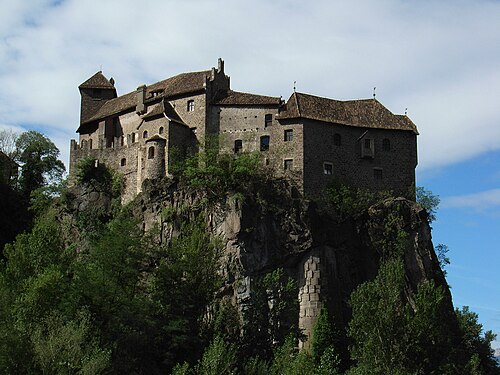

Frequently asked questions
Where is Ruine Montalban?
Ruine Montalban is in Kastelbell-Tschars, in the province of Bolzano (Trentino-South Tyrol), Italy. GPS coordinates: 46.63255, 10.89698.
What else is there to see near Ruine Montalban?
Nearby you’ll find: Kastelbell Castle (500 m away), Latsch Castle (3.3 km away), Castle Annenberg (4.4 km away).
Sources and licences
Data. Wikidata (CC0); opening hours and contacts OpenStreetMap (ODbL).
Updated 28 October 2026. All sources and licences