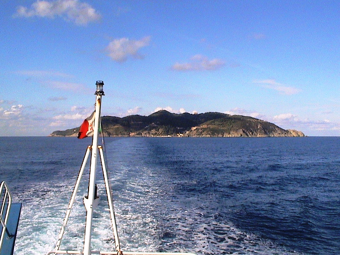


Photo: Giovanni Spinozzi, CC BY-SA 3.0 · Wikimedia Commons
Lighthouse
Punta Cala Scirocco Lighthouse
Building in Livorno, Italy
At a glance
- Type
- Lighthouse
- Materials
- Glass fiber
- Coordinates
- 43°25′14″ N, 9°54′03″ E
History and description
Punta Cala Scirocco Lighthouse (Italian: Faro di Punta Cala Scirocco) is an active lighthouse located on the southernmost extremity of Gorgona, one of the islands of the Tuscan Archipelago, 15 nautical miles (28 km; 17 mi) from Livorno.
Description
The lighthouse consists of a cylindrical white fibreglass tower 5 metres (16 ft) high, placed at 45 metres (148 ft) above sea level. The lantern is powered by a solar unit and emits two white flashes every 10 seconds visible up to 9 nautical miles (17 km; 10 mi).
The lighthouse is fully automated and is operated by Marina Militare identified by the code number 1992 E.F.
Text from Wikipedia, the free encyclopedia, under CC BY-SA 4.0. Full article: «Punta Cala Scirocco Lighthouse».
Getting there
Port1.2 km
Distances are as the crow flies, not walking or driving.
Loading map…
Nearby
See on the mapDo you know this place?
We are missing the opening hours. The data comes from open projects: if you add it there, it appears here at the next update.
More lighthouses in Tuscany


Frequently asked questions
Where is Punta Cala Scirocco Lighthouse?
Punta Cala Scirocco Lighthouse is in Livorno, in the province of Livorno (Tuscany), Italy. GPS coordinates: 43.42053, 9.90078.
What else is there to see near Punta Cala Scirocco Lighthouse?
Nearby you’ll find: Villa romana (1.2 km away), Torre Vecchia (1.3 km away), Torre Nuova (1.4 km away).
Sources and licences
Text. Wikipedia, the free encyclopedia (CC BY-SA 4.0).
Data. Wikidata (CC0); opening hours and contacts OpenStreetMap (ODbL).
Photos. Wikimedia Commons, author and licence on every image.
Credits for the 1 photos
- Isola Gorgona 1 — Giovanni Spinozzi, CC BY-SA 3.0
Updated 28 October 2026. All sources and licences