Saved
Santa Cecilia della Croara
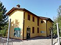
Original photo1 of 2 photos

Photo: Fida rasool, CC BY-SA 4.0 · Wikimedia Commons

Abbey / Monastery, 19th century

Santa Cecilia della Croara

Church building in Croara, San Lazzaro di Savena, Italy

San Lazzaro di Savena (BO), Emilia-Romagna

Directions

At a glance

Period
Modern era, 19th century
Protection
Italian national heritage
Coordinates
44°26′43″ N, 11°23′15″ E
Address
Via Croara, 21, 40068 San Lazzaro di Savena BO

Timeline

  1. 19th centuryBuilt

Events and people from Wikidata (CC0).

Photos

Getting there

Bologna San RuffilloTrain, nearest
2.3 km as the crow flies
Santa Cecilia della CroaraVia Croara, 21, 40068 San Lazzaro di Savena BO
Aeroporto di Bologna "Guglielmo Marconi"12.7 km

Distances are as the crow flies, not walking or driving.

Loading map…

Do you know this place?

We are missing the opening hours and a description. The data comes from open projects: if you add it there, it appears here at the next update.

More abbeys and monasteries in Emilia-Romagna

See all abbeys and monasteries in Emilia-Romagna

Things to see in San Lazzaro di Savena: 10 historic places

Frequently asked questions

Where is Santa Cecilia della Croara?

Santa Cecilia della Croara is in San Lazzaro di Savena, in the province of Bologna (Emilia-Romagna), Italy. Address: Via Croara, 21, 40068 San Lazzaro di Savena BO. GPS coordinates: 44.44522, 11.38743.

How old is Santa Cecilia della Croara?

Wikidata dates it to the 19th century.

What else is there to see near Santa Cecilia della Croara?

Nearby you’ll find: Cava a filo (700 m away), Villa Salina (1.7 km away), Centro visita Casa Fantini (2 km away).

Sources and licences

Data. Wikidata (CC0); opening hours and contacts OpenStreetMap (ODbL).

Photos. Wikimedia Commons, author and licence on every image.

Credits for the 2 photos
  1. Parco dei gessi bolognese — Fida rasool, CC BY-SA 4.0
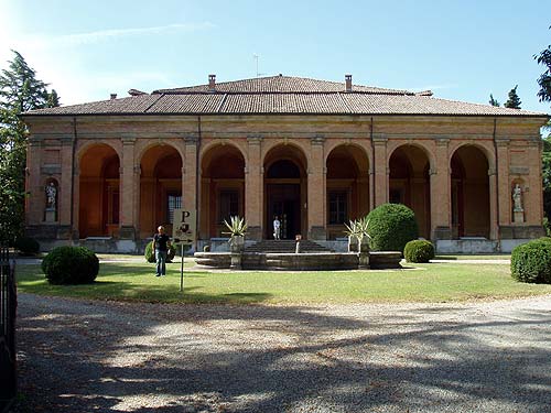
  2. Paolo Monti - Servizio fotografico (San Lazzaro di Savena, 1980) - BEIC 6330687 — Paolo Monti, CC BY-SA 4.0

Updated 28 October 2026. All sources and licences

Spotted a mistake? Fix it on OpenStreetMap