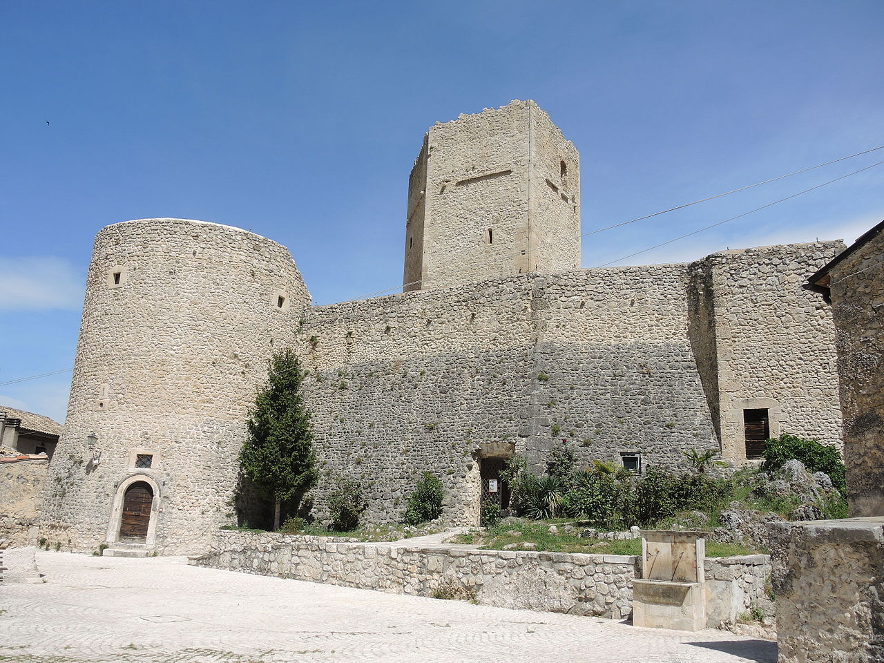


Photo: Pietro, CC BY-SA 4.0 · Wikimedia Commons
At a glance
- Type
- Castle
- Protection
- Italian national heritage
- Coordinates
- 41°58′19″ N, 13°57′40″ E
About
Castello Cantelmo (Italian for Cantelmo Castle) is a Middle Ages castle in Pettorano sul Gizio, province of L'Aquila, Abruzzo, southern-central Italy.
The castle, built around the 11th century, overlooks the Gizio river valley and the Valle Peligna. It has an irregular plan with cylindrical, massive towers at the north-western and south-western corners, while at south-eastern one are the remains of a quadrangular tower. In the middle is a pentagonal tower, which is the most ancient part of the castle.
Text from Wikipedia, the free encyclopedia, under CC BY-SA 4.0. Full article: «Castello Cantelmo».
Photos
Getting there
Pettorano sul GizioTrain, nearest
400 m as the crow flies
Castello Cantelmo
Distances are as the crow flies, not walking or driving.
Loading map…
Nearby
See on the mapMore castles in Abruzzo


- Free 1st Sunday


Frequently asked questions
Where is Castello Cantelmo?
Castello Cantelmo is in Pettorano sul Gizio, in the province of L'Aquila (Abruzzo), Italy. GPS coordinates: 41.97186, 13.96114.
What else is there to see near Castello Cantelmo?
Nearby you’ll find: Pettorano sul Gizio (400 m away), Ocriticum (4.2 km away), Keep of Introdacqua (6.6 km away).
Sources and licences
Text. Wikipedia, the free encyclopedia (CC BY-SA 4.0).
Data. Wikidata (CC0); opening hours and contacts OpenStreetMap (ODbL).
Photos. Wikimedia Commons, author and licence on every image.
Credits for the 2 photos
- Pettorano sul Gizio - Castello Cantelmo 03 — Pietro, CC BY-SA 4.0
- Pettorano sul Gizio - Castello Cantelmo 01 — Pietro, CC BY-SA 4.0
Updated 28 October 2026. All sources and licences